Related materials held by local institutions can be found in groups classified by time period.
Content
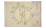 Map of Matsushima
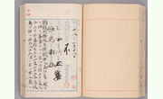 The uninhabited island, located 85 nautical miles northwest of Oki Island, would be named Takeshima and it would come under the jurisdiction of Director of the Oki Island branch office of the Shimane Prefectural Government.
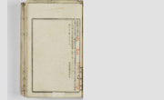 Shimane Prefectural Notice No.40
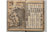 "Hachido-sozu (Map of the Eight Provinces of Korea (Paldo-chongdo)," "Tō-ran zu (Attached Map of the Survey of Geography of Korea)"
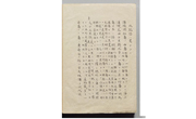 Takeshima Zusetsu (description with pictures)
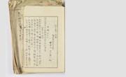 Surveys in 1903 (Sea Lion Hunters Survey)
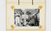 Photos from the joint survey by Shimane Prefecture and the Maritime Safety Agency
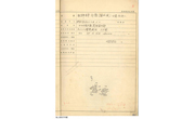 Original Record of Longitude and Latitude Measurement
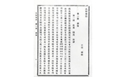 Daikan Chishi (Daehan Jiji (Geography of the Korean Empire))
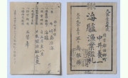 Sea lion hunting license, Takeshima land use permit
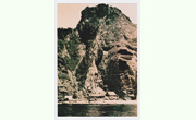 Takeshima-related photographs
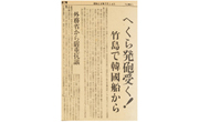 Hekura was Shooted! In Takeshima from a South Korean Vessel
Foreign Ministry Makes Strong Protest (Nihonkai Shimbun)
Hekura was Shooted! In Takeshima from a South Korean Vessel
Foreign Ministry Makes Strong Protest (Nihonkai Shimbun)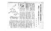 On the proposal to the Government of the Republic of Korea that the dispute over territorial sovereignty over Takeshima to be referred to the International Court of Justice
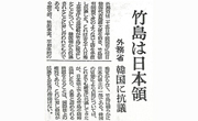 Takeshima is Japanese territory (Asahi Shimbun)
Documents Classified by Holding Institutions
Related Materials can be found according to the respective institutions