Outline of the Survey (Marine)
We departed Naha Port on board the Tonan Maru (159 tons) at 9.30 a.m. on May 15th. Although the Senkaku Islands lies at the northeastward turn of the Kuroshio as it flows through seas east of Taiwan, and is thus important in terms of both oceanography and biogeography, not enough oceanographic or biological research had been conducted in this area in the past. This is probably because the Islands lies in remote seas where transportation is difficult. Currently, gannets and terns are being excessively captured by unscrupulous operators in coastal waters of Minami and Kita Kojima Island. Sea birds are useful for fishery operators, as the state of flocks helps them to infer gatherings of fish, their species and the direction of their movement. As such, this kind of excessive capture is truly regrettable, and some attempt has to be made to protect the sea birds.
Content
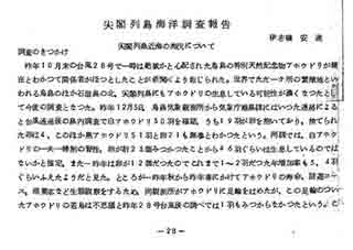
Ryukyu Meteorological Observatory Newsletter No.7 "Senkaku Islands Marine Survey Report"
| Document title | Ryukyu Meteorological Observatory Newsletter No.7 "Senkaku Islands Marine Survey Report" |
|---|---|
| Date created (Western calendar) | May 1963 |
| Date created (Japanese era) | May, Showa 38 |
| Author(s) / Editor(s) | Ishimine Anshin / Ryukyu Meteorological Observatory |
| Publisher | Ryukyu Meteorological Observatory |
| Name of publication | Ryukyu Meteorological Observatory Newsletter No.7 |
| Content | A report by Ishimine Anshin, a member of the 1963 Senkaku Islands Albatross Survey Team. |
| Language | Japanese |
|---|---|
| Public access | Closed |
| Repository | Senkaku Islands Document Material Compilation Association (Japanese Only) |
| Medium | Photograph |
| Copies | 5 |
| Reference No. | S1963050000103 |
| How to access | |
| Notes |

