
Sekibisho (Taisho Island) and the Sento Islands (Senkaku Islands) Chart 1203
As a small islet and a group of islands lying to the north of the western end of the Nansei Islands, parallel to the line of the Nansei Islands but set apart from them, Sekibisho (Taisho Island) lies on its own to the north of the Miyako Islands while the Sento Islands (Senkaku Islands) are grouped to the north of the Yaeyama Islands.
Content
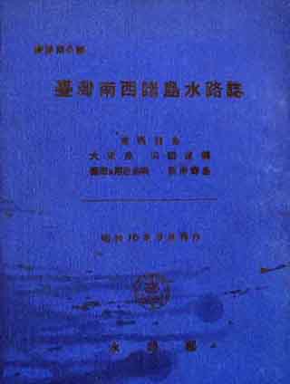
Hydrographic Charts of Taiwan and the Nansei Islands
| Related archives | S1908100000103 |
|---|
| Document title | Hydrographic Charts of Taiwan and the Nansei Islands |
|---|---|
| Date created (Western calendar) | March 1941 |
| Date created (Japanese era) | March, Showa 16 |
| Author(s) / Editor(s) | Canals and Waterways Division, Navy Ministry |
| Publisher | Canals and Waterways Division, Navy Ministry |
| Name of publication | Hydrographic Charts of Taiwan and the Nansei Islands |
| Content | Hydrographic charts of Taiwan and the Nansei Islands. In the section on the southern Nansei Islands, hydrographic information on the Sento Islands is included under "Sekibisho (Taisho Island) and the Sento Islands (Senkaku Islands)". |
| Language | Japanese |
|---|---|
| Public access | Open |
| Repository | Okinawa Prefectural Archives |
| Medium | Paper |
| Copies | 12 |
| Reference No. | S1941030000103 |
| How to access | Follow the licensing procedure at Okinawa Prefectural Archives. |
| Notes |