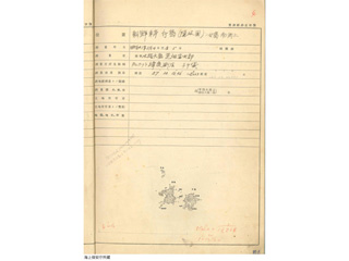
Location:
East Coast of Korea, Takeshima (Oki Province),
Mejima, on the south horn
Measurement Dates: August 4 to 5, 1908
Content
Original Record of Longitude and Latitude Measurement
| Document title | Original Record of Longitude and Latitude Measurement |
|---|---|
| Date created (Western calendar) | August, 1908 |
| Date created (Japanese era) | August, Meiji 41 |
| Author(s) / Editor(s) | Hydrographic Department, Imperial Navy |
| Publisher | Hydrographic Department, Imperial Navy |
| Name of publication | |
| Content | An original record of longitude and latitude measurement conducted by the Hydrographic Department. It includes a measurement map of Takeshima surveyed in August 1908. |
| Language | Japanese |
|---|---|
| Public access | Open |
| Repository | Hydrographic and Oceanographic Department |
| Medium | Paper |
| Copies | 2 pages |
| Reference No. | T1908080000101 |
| Reference & Information | Send an inquiry to Japan Coast Guard, Hydrographic and Oceanographic Department (Umi-no-Soudanshitsu) |
| Notes |


