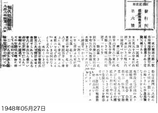
Permanent danger zones
April 16, 1948
1. The following are danger zones to be used for bombing exercises by the First Aviation Division.
(1) Zone 1 "25°56' N, 123°41' E" (Kobisho (Kuba Island))
No entry within 5 miles of this area.
(part omitted)
2. Captains of All ships under command of the Military Government's Water Transport Division shall mark out the above matters on nautical charts, as well as announce to the public the locations of the zones and the fact that they are dangerous.
Southern and Northern Ryukyu Water Transport Division / Fisheries Council / Industrial Union / Agricultural Union / Public Health Division / Public Order Division / Engineering Division / Senior officials of the Military Government and municipal mayors shall give notice via authoritative personnel of the location of these zones and the fact that they are dangerous.
Water Transport Division Strategy Officer Captain (Infantry) Millard O. Engen

